


No Events
Hikers notice
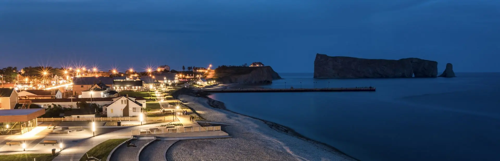
The hunting season is in progress in the forests surrounding Percé from September 27 to October 17 1st – 2025. Be very careful in the forest and wear bright colors.
The mountain trail, starting from Anse-à-Beaufils, this trail runs along the Côte de la Fourche stream to Route d’Irlande, and from there the ascent begins. You will experience views like no other. From top to top you will head towards the mountains surrounding the village of Percé, you will come across some steep uphill and downhill slopes. Caution is in order. The start of this trail can also be done from the village of Percé.
The 24-kilometer-long River Trail crossed the territory from Bridgeville and Anse-à-Beaufils. It runs along four rivers: du Portage, ruisseau Blanc, Murphy and de Anse à Beaufils.
Update October 23, 2025: Unfortunately, certain sections of this trail are currently closed: the section between GPS 1 and GPS 2, known as the Rivière du Portage Sector, is closed indefinitely due to the non-renewal of the rights of way. The section between GPS 11 and GPS 12 at Anse-à-Beaufils is also temporarily closed due to work on the railway bridge. For more details, call 418-782-5448. Please refer to the map to locate these sections. We apologize for the inconvenience.